Data: Time series
Data: Map
Model: Current Spatial
Model: Current Temporal Pt.
Model: Current Spatio-Temporal
Model: Historic Spatial
Model: Historic Temporal Pt.
Model: Historic Spatio-Temporal
1. Choose Area
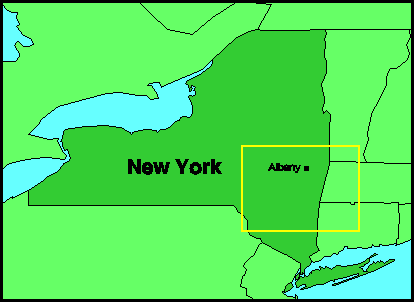
Region Selected
43° 20' 44.125" N
50° 33' 12.202" W
43° 21' 24.375" N
50° 30' 32.000" W
2. Choose Property
Basic
Topography
Geology
Soil type
Land cover
Derived
Slope
Aspect
Soil texture
Soil hydraulic conductivity
Soil depth and soil moisture capacity
Vegetation cover and leaf area index
3. Generate Map